Highway 152 Gallery
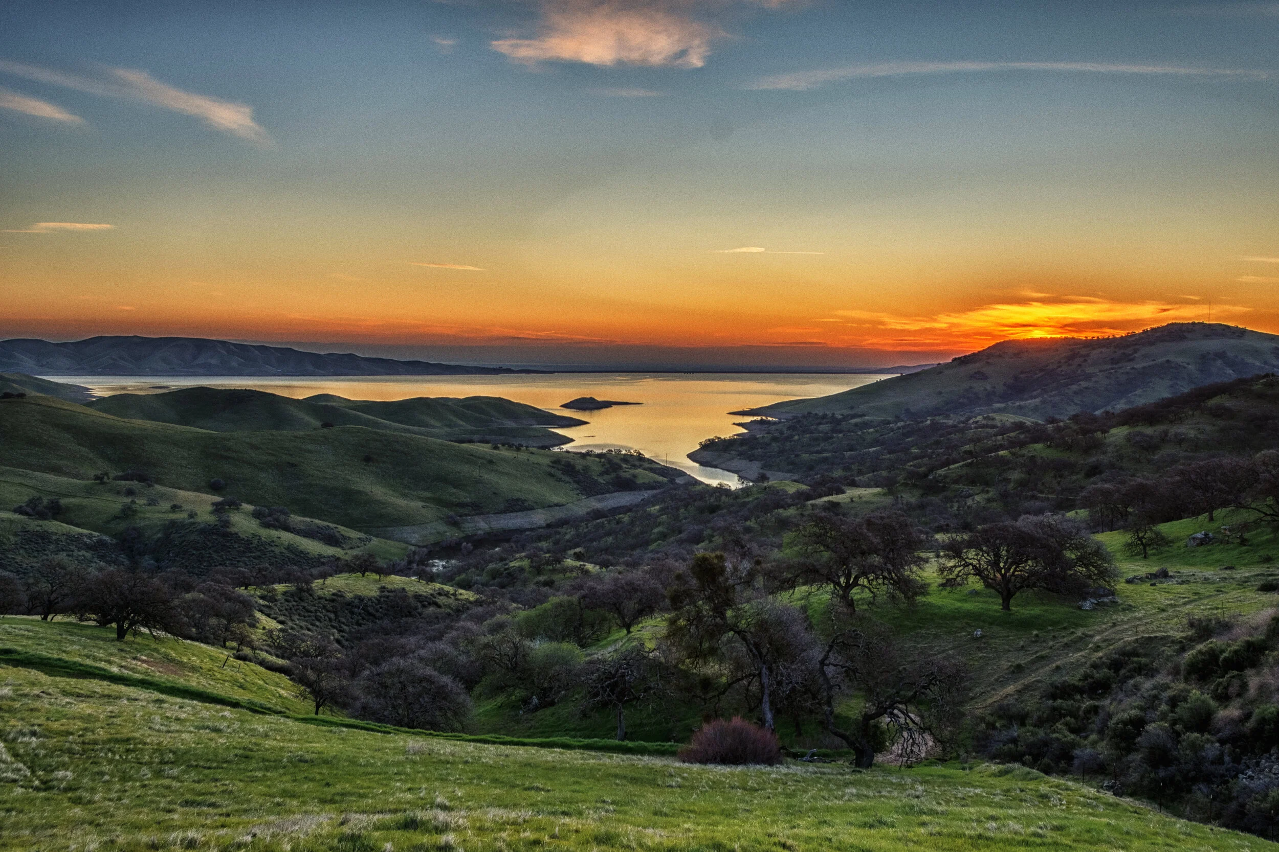
A major corridor between Fresno, CA, where I grew up, and Santa Cruz County, where I have lived for nearly thirty years, is Highway 152. It is 102 miles long, going from Watsonville on the ocean side, to highway 99 in the Central Valley which sits below the Sierra Nevada Mountains, the spine of the state of California. Going from west to east the highway passes through the coastal agricultural landscape around Watsonville (over 2,600 acres of strawberries), then over hills covered with oaks and topped with coastal redwoods. From up on Hecker Pass it drops down to Gilroy, more farmland, the famous Casa de Fruta fruit and vegetable market and much more, and on to the San Luis Reservoir which is nearly at the halfway point of the journey. Next, is the small city of Los Banos and finally after passing through more than 40 miles of large, flat farms and dairies, Highway 152 merges into Highway 99.
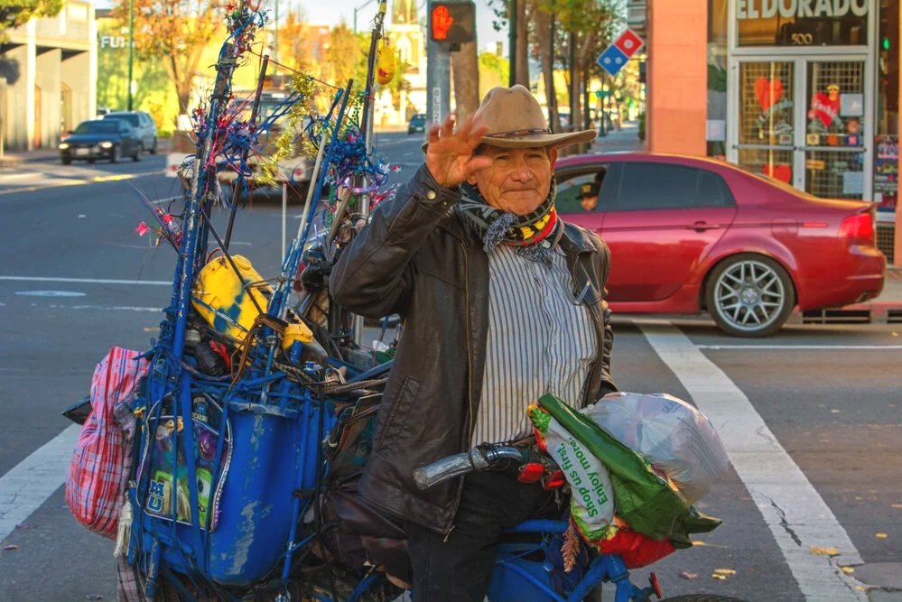
This photo essay started with many visits to Watsonville over the span of a few years, and then expanded to include the entire route of 152. That explains why there are so many images from Watsonville. I tried to capture the changing landscapes, the importance of agriculture, the people, some of the the architecture, and I tried to provide a variety of photographic styles and to move between wide, expansive views and close-ups.